Using a cheap smartphone to catch fish
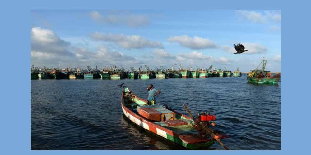
"Fisherfolk will be the worst affected if common lands such as mangroves, wet lands and beaches are lost," says Saravanan, who only uses his first name. He is a 35-year-old fisherman by trade but often rides along the length of the northern coast of Tamil Nadu with a borrowed MacBook Pro and a smartphone to map contested and vulnerable areas.
"We are among the first to undertake such a mapping exercise along the coast in India," says Saravanan.
He is a coordinator at the Coastal Resource Centre (CRC) in Chennai (formerly Madras), which is helping more than 40 fishing villages around the city create land use maps using open source software and affordable technology. A land use map helps identify which areas of land are used for which purpose.
Credit by - The BBC
If you like the story and if you wish more such stories, support our effort Make a donation.
Trending News

Sat May 30 2026 | By Newsdesk
Sat May 30 2026 | By Newsdesk
Sat May 30 2026 | By Newsdesk
Sat May 30 2026 | By Newsdesk
Sat May 30 2026 | By Newsdesk